


Los Angeles to Las Vegas on Dirt: Mojave Desert Crossing, Part 2

Updated: 5 days ago
Mojave Desert Crossing: A Journey Through Diverse Landscapes
There are faster ways to get from Los Angeles to Las Vegas. However, we chose the slower route, crossing the Mojave Desert on dirt tracks instead of following I-15.
In Part 1, we navigated through mining country, Joshua tree woodland, volcanic terrain, Cuddeback Dry Lake, and eventually reached the Husky Memorial. Part 2 picks up with more desert still ahead. We continue along the Mojave Road, descend into Afton Canyon, visit Liberty Sculpture Park and Nipton, then turn north across dry lake country toward Goodsprings, Nevada. The final miles leave the backcountry behind and carry us into Las Vegas.
Route Overview
The second half of the crossing linked several distinct parts of the Mojave. We moved through Afton Canyon and the Mojave River corridor, returned to open desert, passed through Nipton, and headed toward the Nevada line and Goodsprings before finishing in Las Vegas.

The Mojave Road itself is roughly 150 miles long. It follows an old transportation corridor between the Colorado River and the Mojave River. Much of it remains unmaintained, and conditions can change quickly due to sand, washouts, mud, and seasonal water. This changing terrain defined our trip. Drainages, volcanic fields, dry lakes, uplands, old transportation corridors, and mining districts kept altering both the road and the history around us.
Dropping Into Afton Canyon
Afton Canyon changed the route almost immediately. Much of the Mojave River spends its course beneath sand and gravel. However, Afton is one of the few places where water regularly reaches the surface. This gave the canyon a different character from the broad dry basins around it. You will notice denser vegetation and a more confined river corridor.

The canyon also reflects a much older geological process. The Mojave River once carried sediment into ancient Lake Manix, which occupied part of this basin during the late Pleistocene. Roughly 25,000 years ago, the lake drained through the area and helped cut the canyon we traveled through. The modern river now occupies a much smaller drainage within that older landscape.

For us, the practical challenge was more immediate. Sand, water, erosion, and changing channel depth made this section less predictable than a normal dirt road. A crossing that looked manageable under one set of conditions could be very different after storms or flooding.

Liberty Sculpture Park
From Afton Canyon, the trip shifted from geology and transportation history to something much more contemporary. Liberty Sculpture Park near Yermo was developed by sculptor Weiming Chen beginning in the late 2010s. It serves as a desert memorial centered on democracy, human rights, and opposition to Communist political repression.

The nonprofit foundation behind the park was established in 2018. The site grew into a collection of large-scale works focused largely on modern Chinese history. This includes the Tiananmen Square protests, political imprisonment, and the suppression of dissent.

Among the most recognizable pieces was Chen's interpretation of the Tiananmen Square "Tank Man." This is the unidentified man photographed standing in front of a column of tanks in Beijing in June 1989. Other works included the June 4 Monument, a Tiananmen massacre relief, and memorials dedicated to victims of Communist governments. The setting made the stop more striking. These monuments stood in the open Mojave, within sight of I-15, placing a collection devoted to political memory beside one of the busiest travel corridors between Los Angeles and Las Vegas.
Finishing Our Mojave Road Run at Nipton
From Liberty Sculpture Park, we continued toward Nipton. The settlement began at the crossing of older wagon routes. These included routes linking the Colorado River, the Ivanpah mining district, and the Goodsprings area. Gold discoveries around 1900 brought more activity to the area. However, the larger change came when the San Pedro, Los Angeles, and Salt Lake Railroad reached the crossroads in 1904. The first through train between Salt Lake City and Los Angeles followed the next year. The small settlement developed into a rail stop serving mines, ranches, passengers, and freight moving through the eastern Mojave.

By 1910, the settlement had taken the name Nipton. For the next several decades, it served as a connection point between the railroad and surrounding mining districts. This included stage service toward Searchlight, Nevada. The historic hotel and other surviving buildings reflected that railroad period. More recent owners added another layer through public art and large-scale installations, including pieces associated with Burning Man.

For our trip, Nipton marked the end of our Mojave Road run and the point where we turned north toward Nevada.
Goodsprings and Southern Nevada Mining Country
Crossing into Nevada brought us toward Goodsprings, where mining became the dominant historical thread again. The town grew near natural springs in the foothills of the Spring Mountains. It became the center of one of southern Nevada's more productive mining districts. Lead, silver, copper, zinc, and gold were extracted from the surrounding mountains. Improved transportation helped the settlement expand during the late nineteenth and early twentieth centuries. Mining increased substantially during World War I as demand for zinc and copper rose. The Yellow Pine Mine became one of the district's major operations. Goodsprings supported stores, hotels, a school, saloons, and other services needed by a working mining community before declining as mineral prices and production fell.

By the time we arrived, Goodsprings also carried a second identity through Fallout: New Vegas. The 2010 game begins in a fictionalized version of the town and borrows heavily from the real southern Nevada setting. That connection was easy to understand after crossing the Mojave ourselves. The real Goodsprings developed because of water, ore, transportation, and the cycles of mining. The game reused that same geography as the starting point for its version of the desert.

The Final Miles to Las Vegas
Beyond Goodsprings, the isolation started to disappear. Dirt gave way to more developed roads, traffic increased, and the Las Vegas Valley began taking over the horizon. After spending so much of the crossing measuring progress by washes, mines, dry lakes, trail junctions, and mountain ranges, the transition happened quickly.
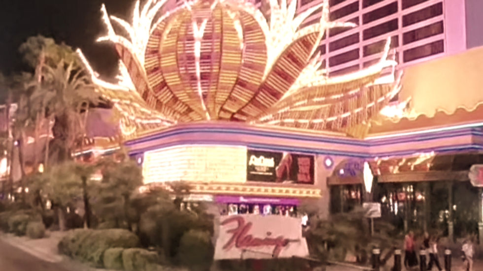
The trip ended on the Las Vegas Strip. It was almost the opposite environment from the roads that brought us there. However, the contrast made it a fitting finish. Over the course of the crossing, we moved through mining districts, Joshua tree country, volcanic terrain, playas, the Mojave River corridor, railroad settlements, and old desert transportation routes. Finally, we joined the city most people reached without ever leaving the interstate.
Watch Mojave Desert Crossing, Part 2
The full video follows this portion of the trip through Afton Canyon, Liberty Sculpture Park, Nipton, the dry lake country, Goodsprings, and the final run into Las Vegas.
Watch more Hardline Outdoor + Offroad videos:
Related Hardline Stories
The Mojave has been a recurring part of Hardline because the same landscape supports several different kinds of trips.
Read Exploring Lake Mojave and the Eastern Mojave Road. Our earlier Mojave trips follow separate routes through Colorado River country, old mining roads, Fort Piute, Lake Mohave, and southern Nevada. Together, they provide another look at how transportation, mining, geology, and long-distance desert travel overlap across the region.
Part 1 of Los Angeles to Las Vegas - On Dirt covers the western portion of this same Los Angeles to Las Vegas crossing. This includes Evening Star Mine, Cima, the Black Tank Wash volcanic landscape, Cuddeback Dry Lake, and the Husky Memorial.
Hardline Articles: https://www.hardlinehq.com/blog
Hardline Videos: https://www.hardlinehq.com/videos


Comments